The trek along the Manaslu region circuit takes around 24 Days. From day one experiencing the diversified nature, climate, landscapes, people and wilderness makes your trek adventurous and challenging.
You will start the trek from Kathmandu where you are blessed with sightseeing of heritage sites. After that, you take a road trip to Aarughat Bazaar which is in the Gorkha district, and rest there for a day. You can enjoy remote village sightseeing which is on the bank of the river. Then, you increase your trek elevation from Aarughat Bazaar (620m) to Sotikhola(700m). On the way up to Sotikhola you will pass by a narrow road, fast-flowing rivers, terraced fields, and a suspension bridge.
Next day, on the fifth day of the Trek. It is the final road hike with Maccha Khola as the destination. After 5 hours of trek, you rest at the hotel. For day 6 you head up towards Jagat. On the way, you can enjoy a natural hot spring, Tato Pani. It takes about 6- 7 hours of trek to reach Jagat which resides at an elevation of 1340m.
You travel through several Gurung villages and get stunning views of snow-capped mountains. After passing Philim, Chumling you arrive at Chhokang Paro, home to Tibetan Buddhist temples such as Tanju, Rainjam, and Gho. Along the trek, Ganesh Himal and Tibetan Himalayan ranges are absolutely stunning.
Following that, the walk takes you to the Nile via Milarepa Cave, a famed meditation cave established by Yogi Milarepa. Then you will go off on your adventure from the Nile to Bajyo, passing through Tibetan communities close to the border. As you walk by the Dhephu Doma Nunnery Gompa on the Mu Gompa route, you may learn a lot about Tibetan culture.
After passing a stunning waterfall, the trail continues via Yangdol Khola to reach Rachen Gompa. Domje connects Rachen Gompa with Chhokang Paro on the way back. Ganesh Himal is one of the region's stunning snow-capped mountain ranges. Then, Rachen is passed by while heading towards Domje to Bihi before descending to Lokpa. The path travels via Nyak, Rana, Deng, and other locations while crossing a number of suspension bridges.
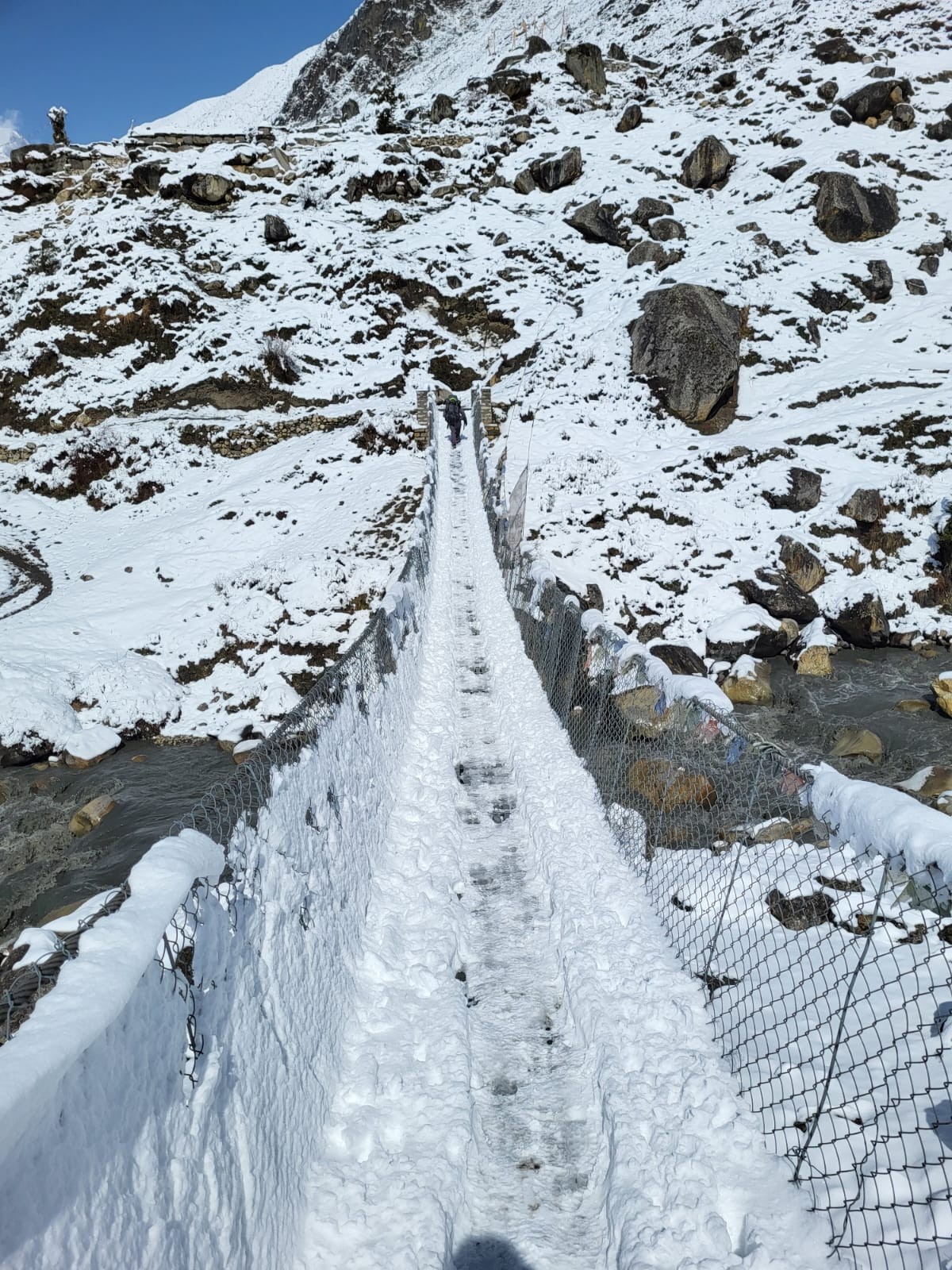
On this route, you can take a rest in the local lodge with an authentic taste of food and people's gestures. Gradually you will head up towards Namrung (2630m). Namrung village is famous for mesmerizing waterfalls, Chorten, and traditions. Resting for a night after an 8-hour long hike in Namrung, prepare yourself for the next day's hike towards Samagaun(3540m). On another day you will reach Samagaun after covering up to the 18km distance in 8 hours of hike. You can explore the beautiful Samagaun village, and monasteries or do an alternative hike to the glaciers. The next day, you ascend towards Samdo(3875m) doing 3 to 4 hours of easy hiking and resting up for the day. Afterward, the Samdo trail leads you to Dharmasala (4460m) which is also called La Larkya Phedi. You can rest up here overnight to prepare for the next day to explore La Larkya Pass.
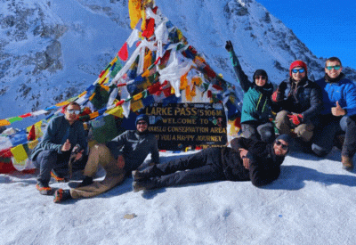
La Larkya Pass resides at an elevation of 5160m. It’s the highest altitude throughout your whole trek. For the acclimatization day, you can explore around the La Larkya Pass then descend down to the Bhimthang(3590m) and stay overnight at the guest house. Trek down to Tilije village (2300m) to high pasture from the rocky terrain of the Himalaya region and pass through Marsyandi river, Mani walls, and forest to the Tal(1700m) and rest overnight. you cross Marsyandi river and Jagat to reach Syange (1200m) and the next day you can take a drive to Beshisahar and then to Kathmandu. For your final day, you can choose your own destination onwards.
Trekkers can organize their expedition with the use of the Manaslu Tsum valley trek map. The maximum altitude, duration, length of the walk, and other information will be provided in detail for travelers. Additionally, the map offers side data that is quite beneficial for organizing this trek, such as the arrival point, goal point, and others.


